Thursday, October 13, 2022

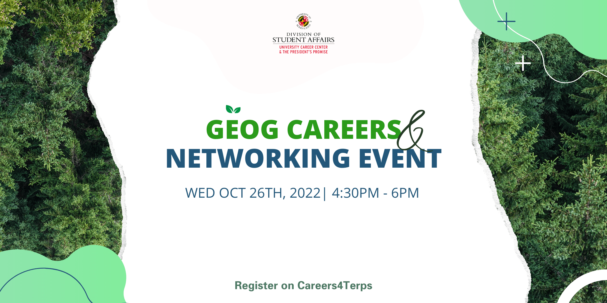
GEOG Careers & Networking Event

Graphic: GEOG Careers & Networking Event 10.26.22 

Location: Virtual Event

Public, private, and non-profit organizations attend this event to fill internship and full-time positions, as well as network with undergraduate and graduate students.

All majors, degree levels, and alumni are welcome to attend. This event will be of particular interest to students majoring in Geography, Geographic Information Systems, and Environmental Science and Policy.

Event Type: Workshops & Panels

Event Location: Virtual

Industry: Agriculture, Environment & Sustainability, Health and Sciences 


REGISTER HERE


START: Geographic Information Sciences (GIS) Research Assistants (2)

 https://www.start.umd.edu/careers/geographic-information-sciences-gis-research-assistants-2

Description

The National Consortium for the Study of Terrorism and Responses to Terrorism (START) at the University of Maryland, College Park, is now hiring two hourly GIS Research Assistants to assist with developing a geospatial atlas, from collecting and cleaning to mapping data; extract actionable insights from trends, patterns and spatial relationships; present spatial analytics in high-quality maps and written materials; and provide research support, as needed, on the research project Climate Security, Great Power Competition, and Adversarial Geopolitics in Southeast Asia.

The GIS Research Assistants will be responsible for collecting and integrating geospatial data related to climate change and climate security in Southeast Asia, specifically Association of Southeast Asian Nations (ASEAN) states, to create an open-source climate security geospatial atlas using ESRI Story Map. The overall goal is to develop a cyber-cartographic atlas to enhance relevant geospatial knowledge and representation of climate security in Southeast Asia.

Job Duties and Responsibilities:

  • Collects, cleans, and prepares data to support the research project. Wrangle large, complex datasets.
  • Assist in developing spatial analytic frameworks, maps, and geographic tools that support the project.
  • Create mapping tools in ArcGIS to support strategic and analytical thinking vis-à-vis identifying spatial relationships, patterns, and trends.
  • Assist with preparation and presentation of research reports. Present place-based and spatial relationships findings and contribute maps and written materials to reports and publications.
  • Assist with presentations, quantitative data visualizations, and written materials.

Required Qualifications:

  • Enrolled in Bachelor’s degree program or advanced degree program in Geography, Cartography, Urban Planning, Environmental Studies, or a related field.
  • Substantial experience working with ArcGIS suite of software (please include two examples with application materials).
  • Solid grasp of common GIS concepts, techniques, and tools.
  • Experience with spreadsheet software, such as MS Excel.
  • Demonstrated proficiency in high-quality mapping products.
  • Strong communication, responsivity, and organizational skills and the ability to work collaboratively and independently.
  • Strong critical thinking skills, exhibited by the ability to take information from a wide variety of sources and synthesize/analyze the information in the context of a research project.

Preferred Qualifications:

  • Demonstrated interest in applying GIS approaches to human-environment interactions.
  • Demonstrated regional research interest in Southeast Asia.
  • Demonstrated high proficiency with ArcGIS suite of software, especially ESRI Story Map.
  • Exceptional analytic skills in spatial relationships, geography, and environmental and climate data.
  • Advanced critical thinking skills, exhibited by the ability to take information from a wide variety of sources and synthesize/analyze the information in the context of a research project.

Knowledge, Skills, and Abilities:

Successful candidates should be self-directed with a demonstrated ability to organize work effectively and efficiently, paying close attention to detail to succeed in the position. This position will require the candidate to 1) use critical thinking and analytical skills, 2) demonstrate proficiency with ESRI ArcGIS Suite, 3) multi-task and prioritize work, 4) communicate professionally via all modes of communication, 5) exercise analytic skills in spatial relationships, 6) work collaboratively with a small team, and 7) contribute to the overall project objectives.

Salary:

These are hourly positions. The work week consists of 15 hours per week at the hourly rate of $20/hour. The persons selected for this position will work both remotely and on-site at START headquarters, closely with members of the Geospatial Research Unit, and report directly to Dr. Samuel Henkin.

Application Information:

Qualified applicants should submit a cover letter, resume, and two examples of previous GIS work via email (with the subject line START GIS Research Assistant) to Dr. Samuel Henkin at henkinsd@umd.edu by Oct. 26, 2022 for best consideration. Only complete applications will be reviewed.

The University of Maryland, College Park, actively subscribes to a policy of equal employment opportunity and will not discriminate against any employee or applicant because of race, age, gender, color, sexual orientation, physical or mental disability, religion, national origin, or political affiliation. Minorities and women are encouraged to apply.


PCLGBTQI Student Advisory Committee Nomination

The PCLGBTQI is responsible for advising the President of the University of Maryland, College Park, and others in the campus administration, on issues of concern to lesbian, gay, bisexual and transgender students, faculty, and staff. The Commission's responsibilities include recommending policies and programs to ensure that the campus is sensitive to the needs of the many lesbian, gay, bisexual and transgender persons who are part of the University community. The student advisory board will advise and make recommendations for LGBTQ+ centered  policies, programs, and initiatives. 

If you would like to nominate more than one student please separate their names/email addresses by using a comma.

https://docs.google.com/forms/d/e/1FAIpQLSeIJ56N6kexOqgNoSDUbrW6jqGHYqNJk7sTwr-6lHiQh6tYDw/viewform

Two Position Openings: Office of Letters and Sciences

Coordinator, Academic Programs (Business)
This is a great position for anyone that is passionate about advising and supporting students exploring business majors/careers, especially through implementing programs and initiatives that expose them to the many options available. In addition to the usual LTSC advising, orientation, and recruitment duties, this position is primarily responsible for co-coordinating the Business Exploration Series.
The posting description/application can be found at https://ejobs.umd.edu/postings/100476.


Academic Advisor
This is a great position for anyone that is passionate about advising and supporting students as they explore major and career interests and/or work through requirements for limited enrollment programs. In addition to the usual LTSC advising, orientation, and recruitment duties, this position may teach a UNIV100 or similar course.
The posting description/application can be found at . https://ejobs.umd.edu/postings/100503


Earn an Advocacy Certificate with the Chesapeake Bay Foundation - sign up today!

The ENSP program is proud to be partnering with the Chesapeake Bay Foundation's Bay Advocacy Institute. This is a new program they are launching for college students which aims to engage college students in Watershed issues and advocacy. This program provides multi-session advocacy trainings in topics including federal and state advocacy, community engagement, managing climate anxiety, and more. The program provides the participating students with a field experience led by CBF staff, a $250 stipend to support their work, and the option to pursue a certification in Bay advocacy.

Sign up with this link or scan the QR code below.


Academic Success Guide - Fall 2022 Edition


Terps, with mid-term exams on the horizon, check out the numerous resources available to help you succeed! View this Academic Success Guide for these tips and resources:
  • Tutoring & Academic Resources
  • Study Plan Tips & Quiet Study Spaces
  • Time Management Workshop Info
  • And More!

UMD Resources for Students and Staff

A list of UMD Resources for Students and Staff!
 
https://docs.google.com/spreadsheets/d/1Oe5Y3_XzGPv6KGwnPXw0MM4UFM0sDtAEQIv8OIXuBcU/edit#gid=338120124 

National Geographic: GIS Database Specialist

GIS Database Specialist

How You’ll Contribute

The Storytelling team works to expand the organization’s impact through journalism, photography, film/video, web content, mapping, asset management, and data visualization. As one of the largest funders to individual storytellers in this work, it also identifies key grantmaking and fellowship opportunities with creative talent. Much of the team's programmatic activity is focused on identifying and building capacity for the next generation of diverse storytellers.

The GIS Database Specialist will be a key contributor to the development and maintenance of National Geographic’s geospatial databases. You will work on the core foundational cartographic database of coastlines, drainage, boundaries, and populated places that serves as the base for all National Geographic map products. The role includes geospatial data research, vector and raster data manipulation and harmonization, and working with our GIS platform team to ensure best practices database structure. In addition, you will work with the Chief Cartographer and the rest of the Geography & Mapping team in the conception and creation of new databases to support our programmatic and storytelling work. The GIS Database Specialist will report to the Senior Director for Map Brand and Editorial.

Your Impact

Responsibilities Include

  • Core geospatial database development and maintenance (50%): perform ongoing review of core geospatial database layers for currency and accuracy; implement tabular and geospatial updates and corrections to core layers in a versioned geospatial database environment; develop workflows to automate geospatial database maintenance; develop workflows to cartographically optimize and make core layers available to cartographic staff.
  • Programmatic database development (20%): identify, evaluate, and acquire authoritative external datasets to augment core geospatial database; perform geoprocessing tasks to make programmatic data compatible with core geospatial database layers.
  • Coordination with the GIS Platform team (15%): monitor geospatial database uptime; coordinate schema changes and confirm their correct implementation.
  • Support for Geography & Mapping Group (10%): perform geoprocessing tasks for special projects; develop and style digital basemaps; perform editorial review of cartographic products; assist in monitoring data changes for National Geographic Map Policy.
  • Professional development (5%): stay up to date on the latest GIS and cartographic standards, policies, and technologies related to geospatial databases.

What You’ll Bring

Educational Background

Bachelor’s degree in Geography or related field.

Minimum Years and Type of Experience  

3+ years’ experience or demonstrated proficiency working with spatial databases

Necessary Knowledge and Skills

  • Professional level knowledge of GIS and mapping software systems, must include Esri ArcGIS online and desktop applications
  • Understanding of fundamental geospatial database concepts, including database schema, versioning, relationships, topology, generalization, and multiscale data representation
  • Understanding of standard vector and raster data formats
  • Excellent organization skills and the ability to handle multiple tasks
  • Team oriented, but confident in the value of their own ideas, contribution, and role

Desired Qualifications

  • Experience working on development of geospatial databases, including research and database design
  • Experience with geospatial data analysis and processing
  • Programming skills are a plus (Python in particular)

Supervision

No direct reports.

Salary Information


As a leading nonprofit organization, National Geographic Society offers competitive salary and total rewards to attract, develop, and retain an innovative and dynamic workforce.

The salary range for this position starts at $69,000.

Job Designation

Hybrid - At the Society, we believe in the advantages of coming together to build community, mentor and learn from colleagues, and connect more deeply with our mission. As a result, the majority of our staff are Hybrid. Our Hybrid category requires that staff work at Base Camp two days each week: every Wednesday plus either Tuesday or Thursday. Because we recognize that we can effectively work remotely, this designation has been updated to provide more flexibility, both in the days staff choose to come into the office and how often they are expected to be at Base Camp. And of course, Hybrid staff are also always welcome to come in additional days each week if they prefer.

We encourage you to apply even if your experience is not a 100% match with the position. We are looking for someone with relevant skills and experience, not a checklist that exactly matches the job description. We want to help you grow and in return, you help us grow into a stronger, more inclusive organization.
 

OMSE is Hiring Tutors!

Students can apply by submitting their information to the Student Employment application portal. Eligible students will be placed immediately upon completing the hiring process.